


1 min read
Fuel Tests That Actually Predict Failure: Understanding ASTM D6469 and Microbial Testing
Most fuel tests tell you what already happened. Your fuel passed or failed on the day you sampled it. The distillation curve was in spec last...
6 min read

The 2026 Atlantic hurricane season is still several months away, but the earliest forecasts are already beginning to appear. For businesses and homeowners across the Gulf Coast, Florida, and the lower Atlantic seaboard, these predictions are worth paying attention to. While seasonal forecasts can’t tell us exactly where storms will make landfall, they do provide an early indication of how active the overall season may be.
That matters because preparation—whether it’s securing property, planning logistics, or ensuring emergency power and fuel readiness—works best when it happens well before the first storm appears on the radar.
So far, the earliest extended-range forecast for the 2026 Atlantic hurricane season comes from Tropical Storm Risk (TSR), a forecasting group based at University College London.
Their December forecast projects: 14 named storms, 7 hurricanes, 3 major hurricanes. A major hurricane is Cat 3 or stronger. Those projections are virtually identical to the modern long-term average for the Atlantic basin, in all three areas.
In other words, the earliest forecast suggests a near-normal hurricane season rather than an unusually active or unusually quiet one.
However, it’s important to remember that these early predictions carry a lot of uncertainty. Several major forecasting groups—including Colorado State University and NOAA—typically release their first outlooks later in the spring. Those forecasts might be expected to differ from this earliest one because they often incorporate additional data from the ocean and the atmosphere. That can change things.
In addition to counting storms, forecasters often talk about something called ACE, or Accumulated Cyclone Energy. ACE is a metric that measures the overall energy produced by all storms during the season, not just how many storms form. A season with many weak, short-lived storms may produce a lower ACE value than a season with fewer storms that become powerful and long-lasting hurricanes.
In practical terms:
Meteorologists track ACE alongside storm counts because it provides a broader picture of how active the season really is. It shows that more storms don't always mean a stronger hurricane season, because fewer storms can still produce more damage if they are intense and long-lived. The ACE metric clocks this.
Alongside this, there's one of the biggest factors influencing hurricane seasons - ENSO, which stands for the El Niño–Southern Oscillation. ENSO is a recurring climate pattern in the Pacific Ocean that shifts between three phases: El Niño, La Niña, and a neutral phase in between.
No doubt you've heard of El Niño and La Niña because they come up every year in these discussions of what might happen with hurricane season. They have to be accounted for by weather professionals because these phases influence the kind of atmospheric conditions that make or break hurricanes around the globe, including the Atlantic hurricane basin.
Right now, forecasters expect conditions to transition from La Niña toward ENSO-neutral, with the possibility that El Niño could develop later in 2026. If any of this happens, then what? Let's talk about if the forecasters are right....and if they're wrong.
El Niño refers to a period when ocean waters in the central and eastern Pacific become warmer than normal.
That warming changes atmospheric circulation patterns across the tropics. One important effect is that it tends to increase upper-level winds over the Atlantic Ocean. Those stronger winds create something called vertical wind shear. Vertical wind shear occurs when winds at different altitudes blow at different speeds or in different directions.
This matters because hurricanes rely on a vertically stacked structure to strengthen. When strong wind shear is present, it can tilt or disrupt that structure—essentially tearing storms apart before they can intensify.
So when meteorologists say El Niño can “cap” hurricane activity, they mean that the environment becomes less favorable for storms to develop or strengthen, even if other ingredients—like warm ocean water—are present.
This is why seasons influenced by El Niño often see fewer hurricanes overall.
Let's also consider the opposite, since La Niña is essentially the opposite phase of El Niño.
During La Niña, waters in the central and eastern Pacific Ocean become cooler than normal (not warmer), which leads to weaker upper-level winds over the Atlantic hurricane basin. That means less vertical wind shear across the tropical Atlantic.
As explained earlier, vertical wind shear can disrupt developing storms by pushing the upper part of the storm away from its lower circulation. When shear is weak, storms can stay vertically aligned, allowing them to organize and intensify more easily.
In other words, La Niña tends to create a more favorable environment for hurricane development.
Historically, many of the most active Atlantic hurricane seasons have occurred during La Niña years because the combination of warm Atlantic waters and reduced wind shear allows storms to develop and strengthen more easily.
Current forecasts suggest that the climate system may transition away from La Niña toward ENSO-neutral conditions, with the possibility that El Niño develops later in the year.
However, long-range climate forecasts are not perfect. If the Pacific remains in a weak or moderate La Niña pattern instead, that could change the outlook for the 2026 hurricane season.
A lingering La Niña would likely mean lower wind shear across the Atlantic. This means more favorable conditions for hurricanes to form, and thus, a greater chance of having an above-average hurricane season.
Even when El Niño develops, it doesn’t guarantee a quiet hurricane season. Hurricanes feed off warm water in the Atlantic to support their storm formation. And we know ocean temperature around the world has been higher than the historical averages. Unusually high water temperatures seem to be the common denominator behind many of the most recent active hurricane seasons.
The 2025 Atlantic hurricane season produced:
While the overall storm count was close to average, several of the major hurricanes became extremely intense. And we know that a single powerful storm can define the impact of an entire year, regardless of how many other storms formed overall.
For organizations responsible for keeping critical systems running during hurricanes, this early part of the year is the calm window for preparation. Once storms begin forming and emergency demand ramps up, maintenance, testing, and remediation work become much harder to schedule.
Even though the earliest forecast points toward a near-average season, that doesn’t reduce the operational risk for facilities along hurricane-exposed coastlines. A single storm making landfall near critical infrastructure can trigger extended outages and heavy generator reliance.
For facilities that depend on standby power systems, the most effective preparation happens months before hurricane season peaks.
Several steps are especially important right now.
Stored diesel fuel is one of the most common weak points in emergency power systems. Fuel that has been sitting for extended periods may experience oxidation, degradation, or contamination that reduces reliability during long generator runs.
Fuel testing can reveal whether the fuel is still stable or whether corrective steps—such as treatment, polishing, or replacement—may be needed before the season begins.
Water accumulation in diesel storage tanks is a common issue in humid coastal environments. Temperature swings and condensation can introduce water over time, and storms themselves can introduce additional moisture.
Excess water increases corrosion risk and creates the conditions that allow microbial contamination to thrive. Sampling tank bottoms and removing separated water before hurricane season helps prevent those problems from escalating during an emergency.
Microbial contamination—often called “diesel bugs”—is one of the most frequent causes of generator fuel problems. Bacteria and fungi grow at the interface between fuel and water, producing biomass and acidic byproducts that can plug filters, foul injectors, and accelerate corrosion.
Testing for microbial contamination allows operators to detect early-stage problems before they turn into filter-clogging sludge during a long generator run.
Facilities that already operate under regulatory requirements or internal fuel maintenance programs should confirm that scheduled fuel sampling, tank inspections, and treatment protocols are up to date. The months leading into hurricane season are often when deferred maintenance gets caught up.
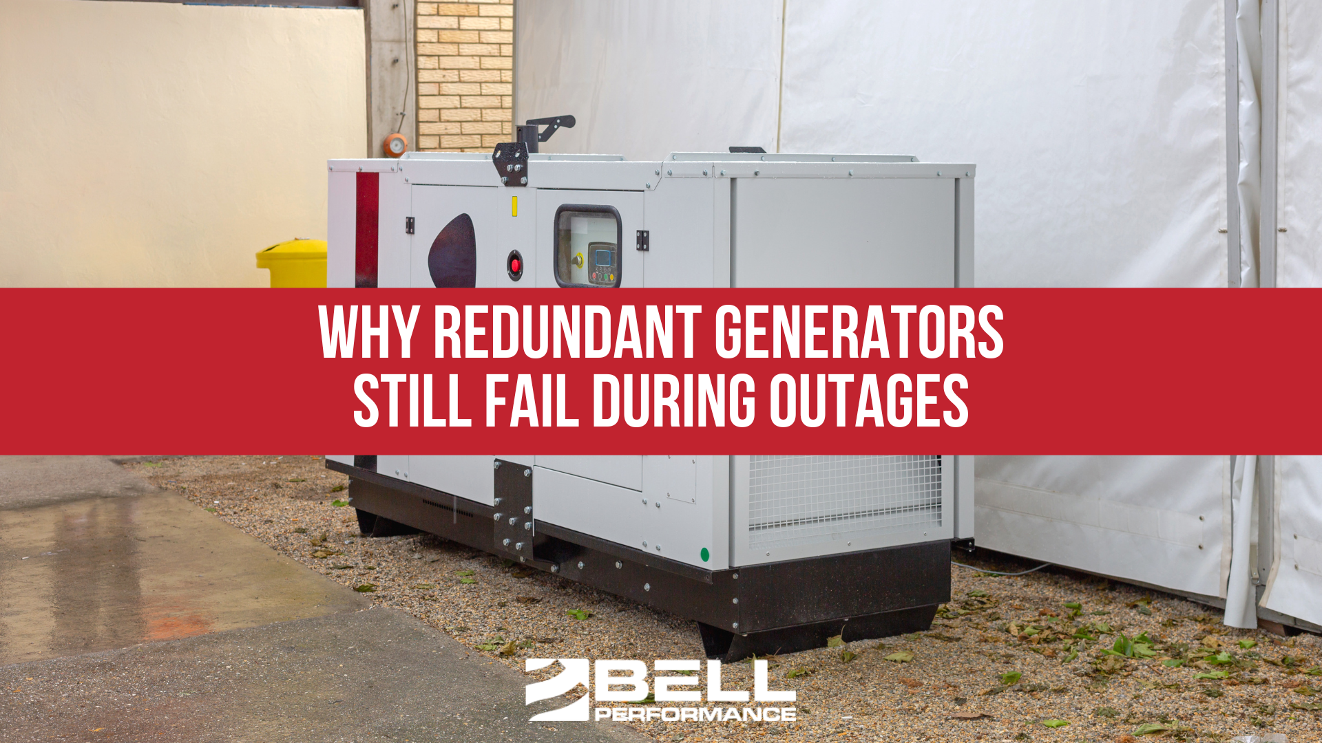
Hurricanes often require generators to run for extended periods rather than the short test cycles they experience during routine maintenance. Ensuring that fuel quality, filtration systems, and storage conditions are ready for those longer runs can help prevent unexpected shutdowns during outages.
At this early stage, the 2026 Atlantic hurricane season appears likely to be near the historical average, with roughly 14 named storms, 7 hurricanes, and 3 major hurricanes projected.
However, several key climate signals—especially the potential development of El Niño later this year—could still shift those expectations in either direction.
Additional forecasts from major meteorological groups will arrive in April and May, providing a clearer picture as the season approaches.
But regardless of what the final numbers look like, one reality remains unchanged: it only takes one storm to create major disruption.
That’s why hurricane preparation—especially for critical infrastructure and backup power systems—always begins well before the first storm forms in the Atlantic.


1 min read
Most fuel tests tell you what already happened. Your fuel passed or failed on the day you sampled it. The distillation curve was in spec last...
1 min read
In September 2017, a Florida nursing home lost air conditioning after Hurricane Irma knocked out power. The backup generator failed—not because of...
1 min read
The utility fails. The automatic transfer switch does exactly what it's supposed to do. The first generator starts, carries the mission-critical...